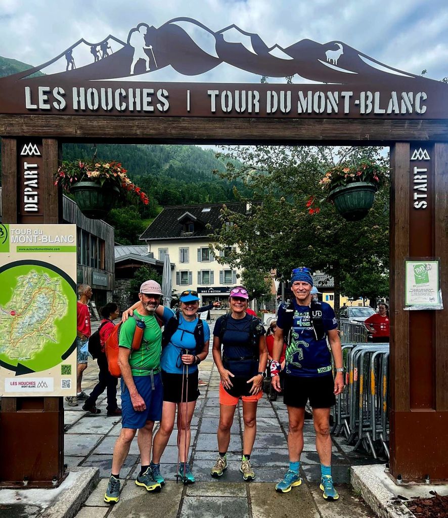
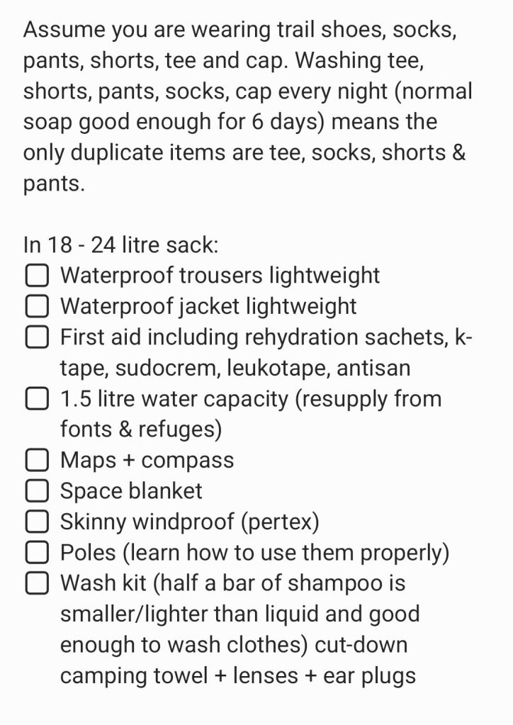
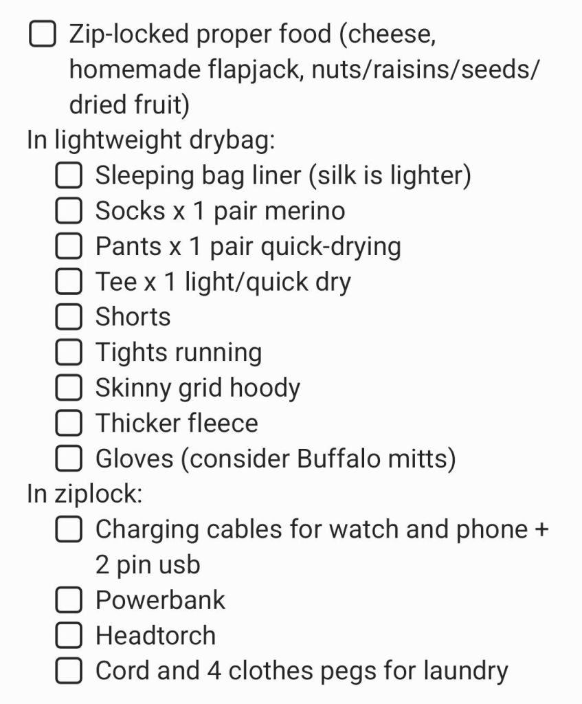
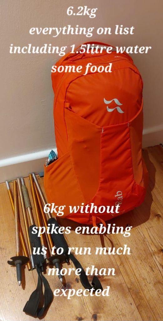
Initial chats in May and by September the crew: Gary, Steph, Jenny, Louis & Jayne were ready to shop for any missing items (scroll for list and finer details):
I am a qualified International Mountain Leader and have been climbing, mountaineering, running and backpacking the area for nearly 30 years, (17 of those with Jenny) so was pleased to plan and lead the trail. Other logistics shared 🙏
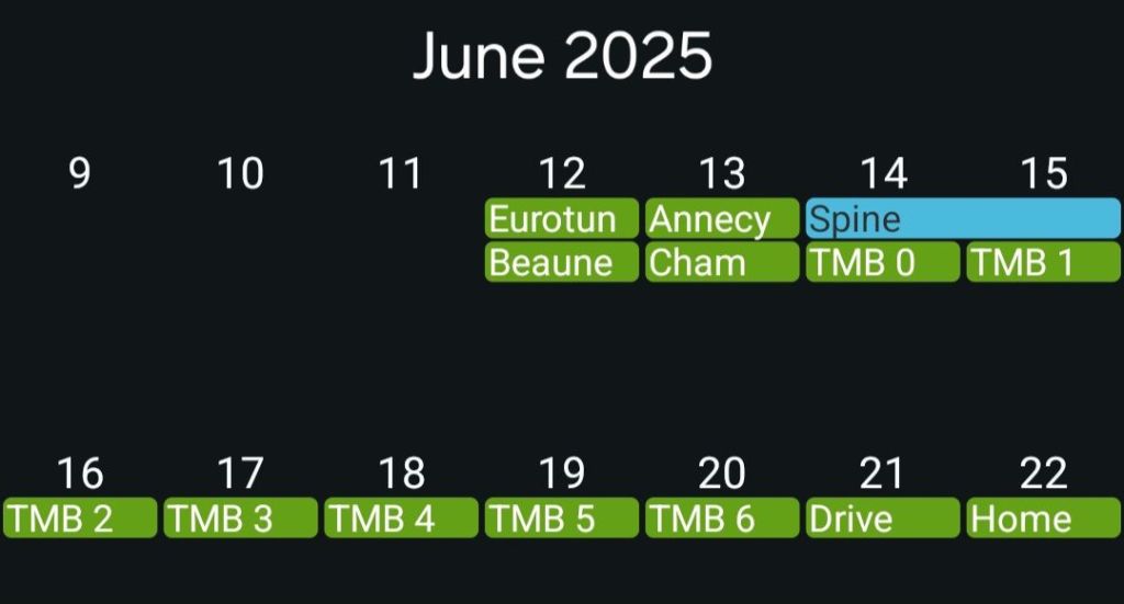
We broke the long drive from the North York Moors to Chamonix staying over in Beaune. Next day Annecy lunch and a swim in the Lake.
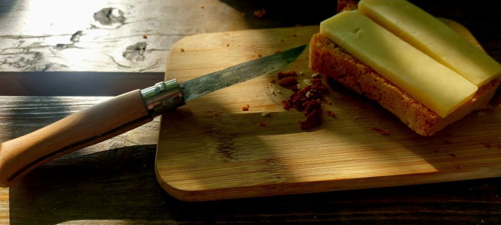
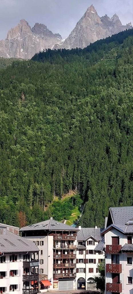
Accidental Renaissance of breakfastView from cheapo apartment in Cham centre.. which afforded being lulled to sleep by the hired busker in the bar opposite and slick access to La Gare
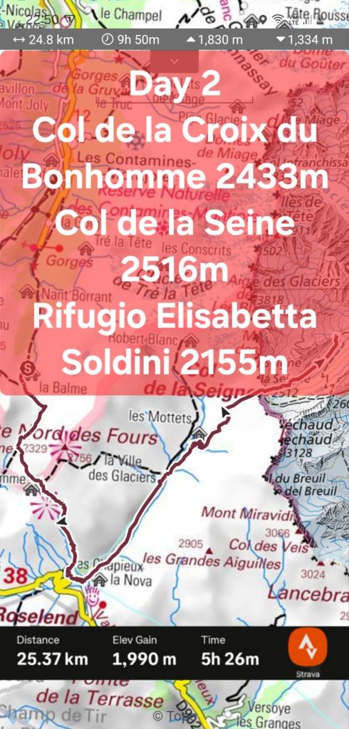
Day 2 – Refuge de la Balme to Refugio Elisabetta 25km + 1,830m
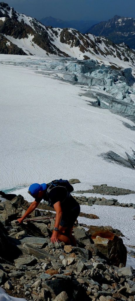
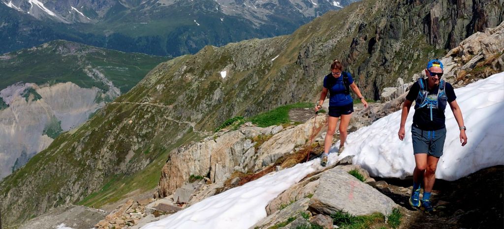
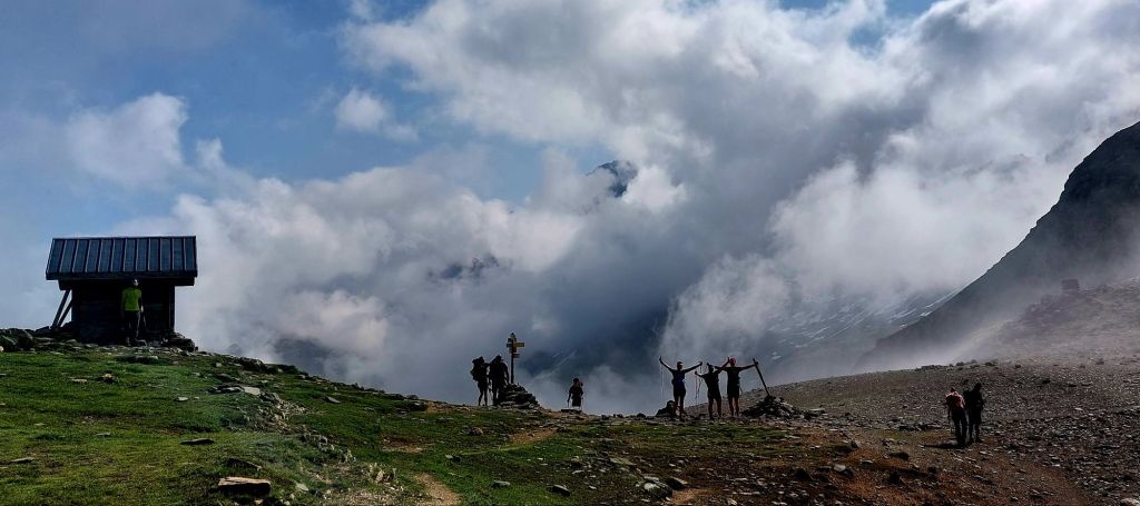
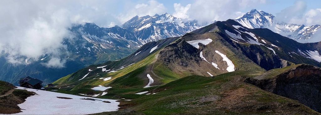
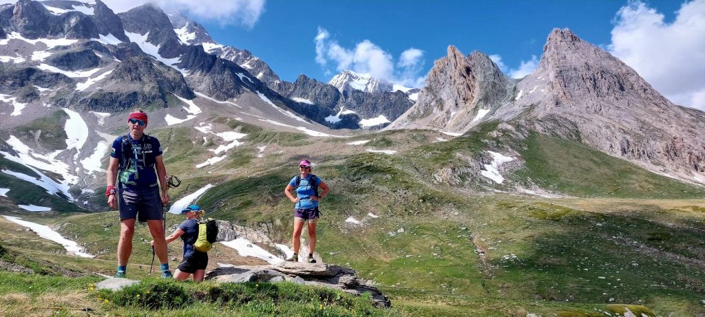
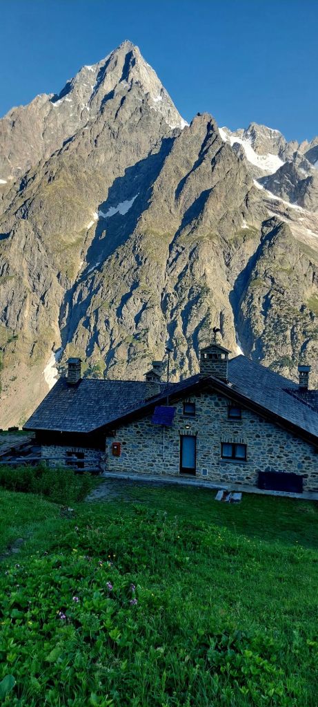
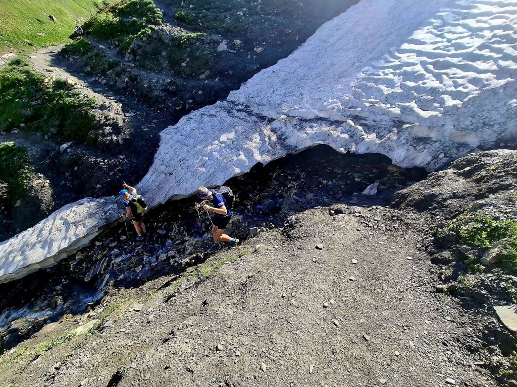
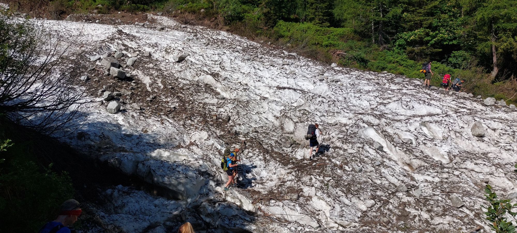
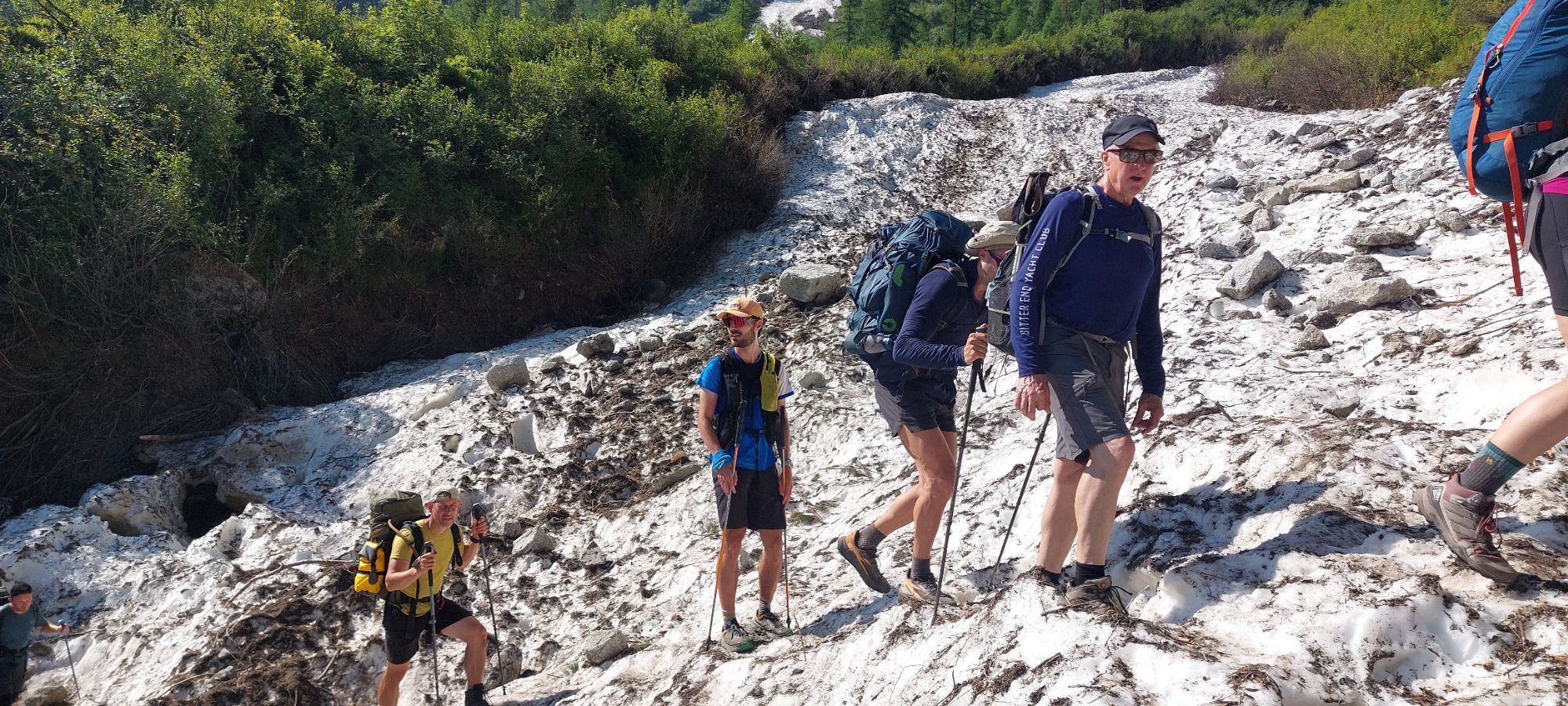
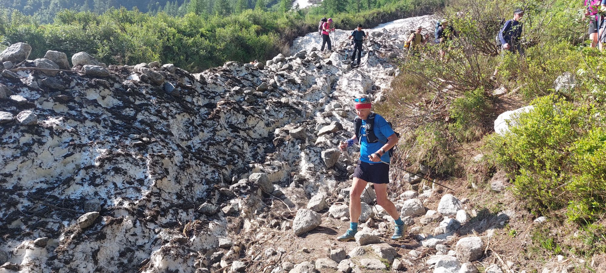
Col du Bonhomme first tick-off after the hutRefuge de la Croix du Bonhomme bottom left..was an ok coffee stopDescent into Torrent des GlaciersTorrent des MoutonsLate lying snow can require microspikes for col and couloir crossings in early season, unless you are confident on steep snow with consequential runout. You can see the track across this snow bridge before the melt. Check winter snow and spring thaw situation beforehand.Leaving France behind at..Col de la Seigne 2,516m… and into ItalyE’r’body freezeRifugio Elisabetta 2,155m
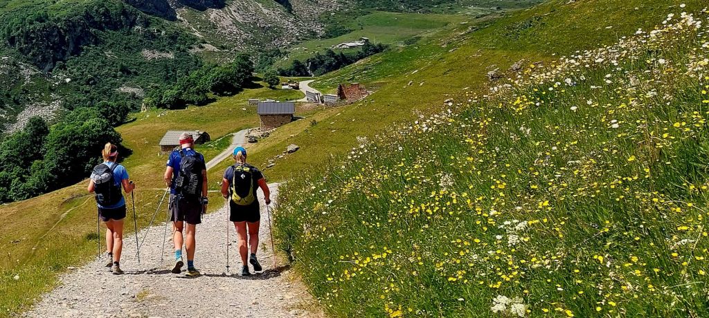
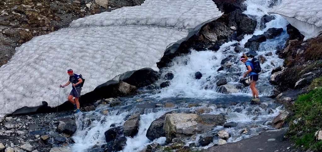
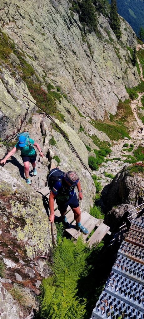
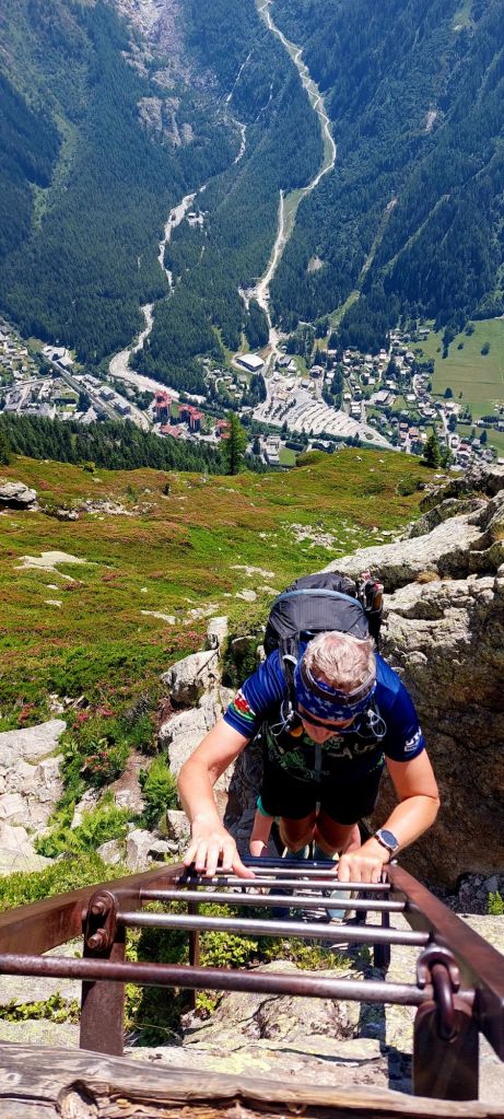
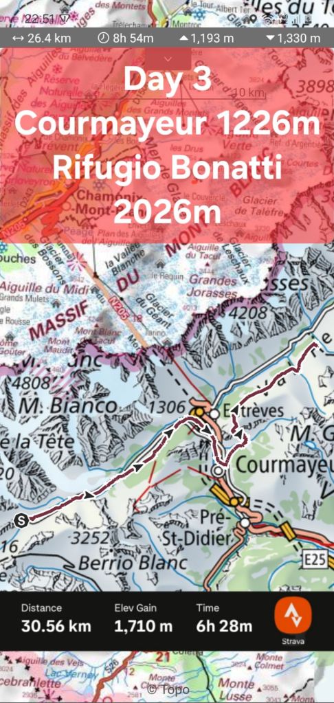
Day 3 – Rifugio Elisabetta to Rifugio Bonatti 26km + 1,193m
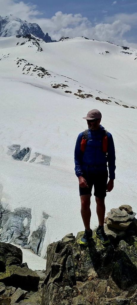
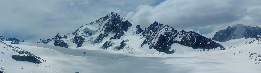
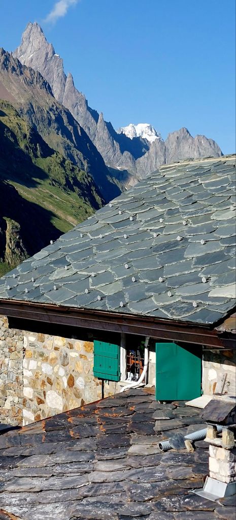
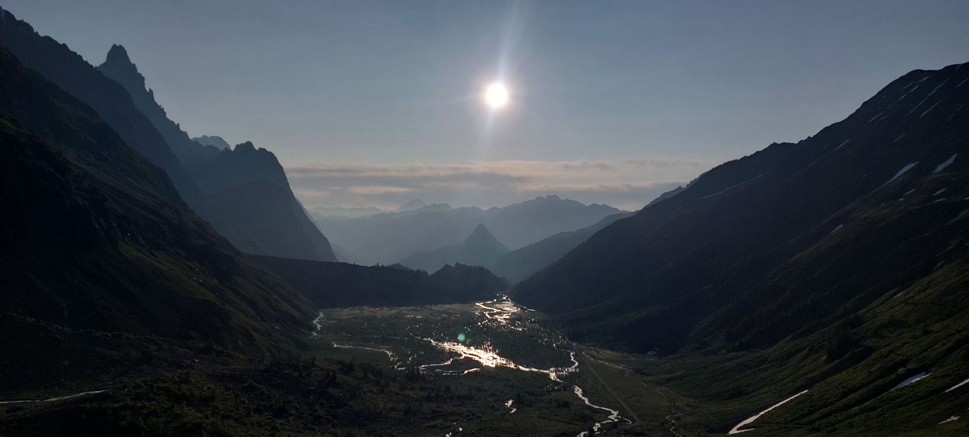
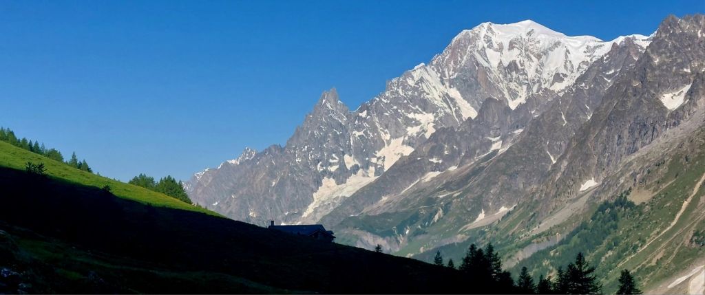
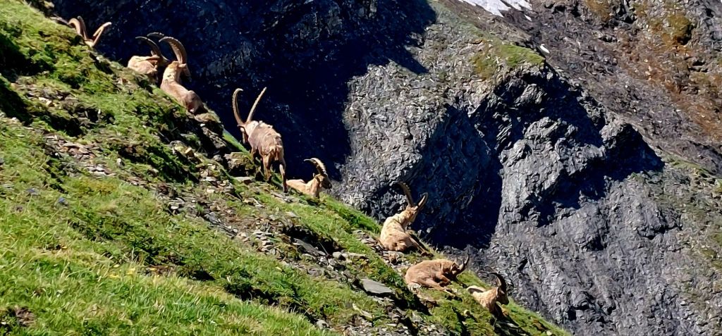
Breakfast view out east Leaving ElisabettaThe first of many avalanche debris fieldsErm.. notedRifugio Bonatti 2,026m and The Grandes Jorasses
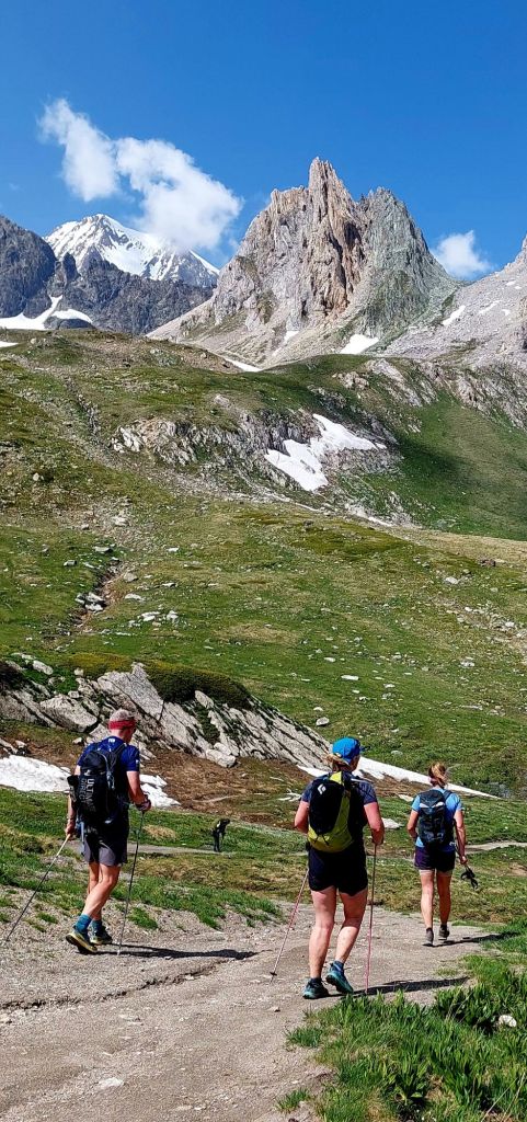
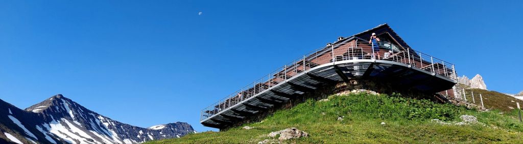
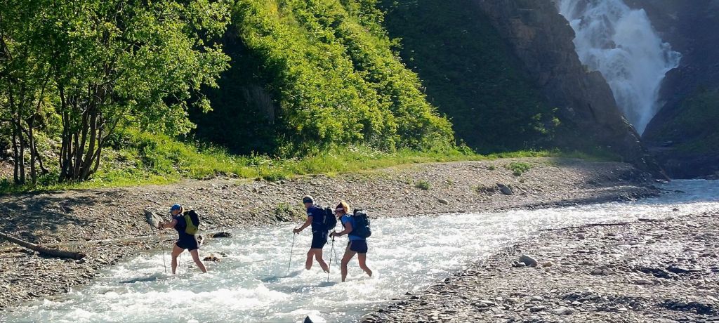
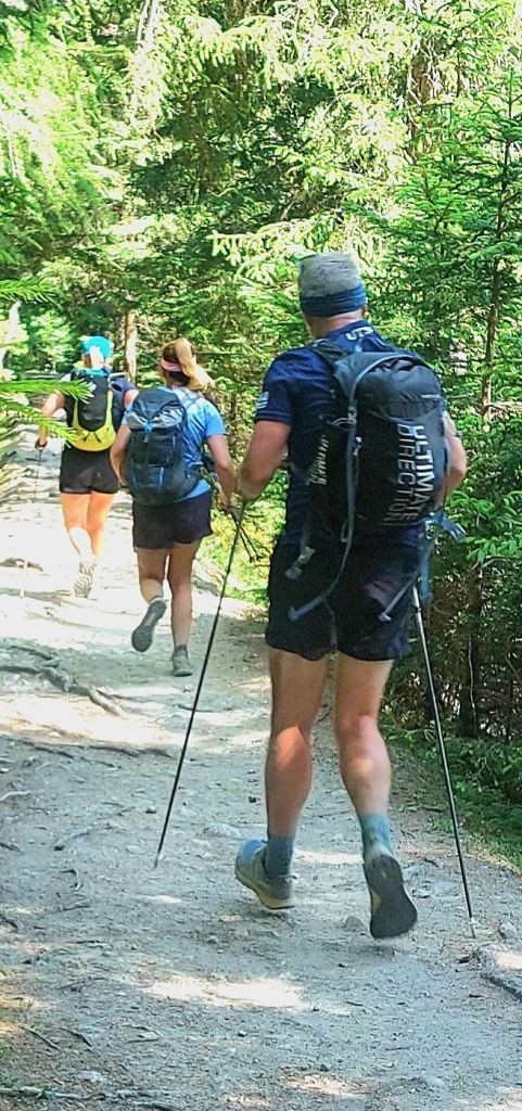
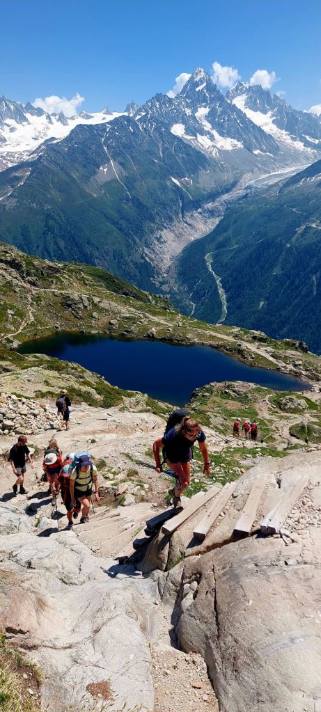
Day 4 – Rifugio Bonatti to Refuge Relais d’Arpette, Champex Lac 35km + 1,485m
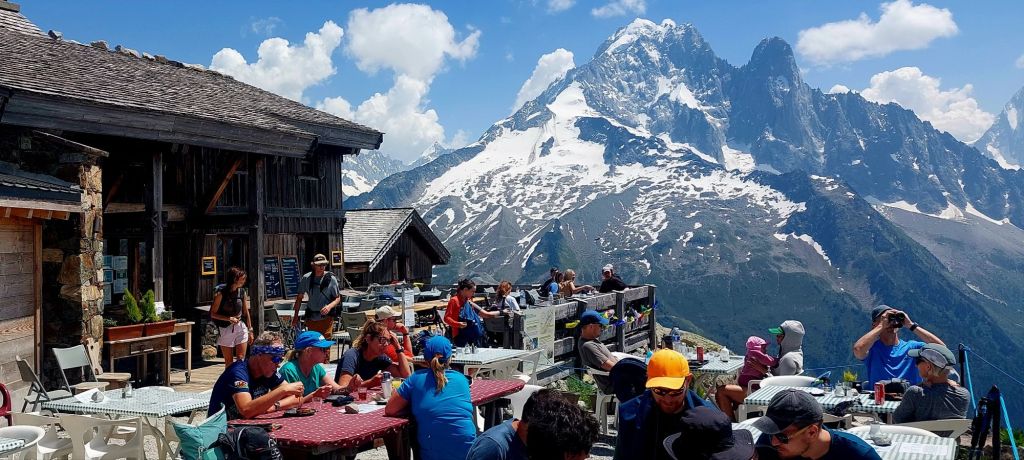
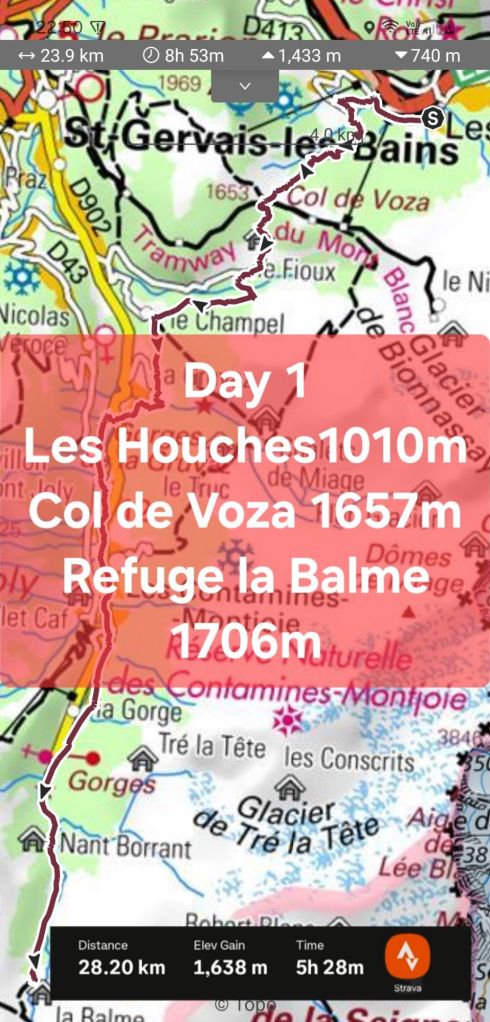
Breakfast in TMB huts is typically 07:00 so assume on the trail for 08:00 – arrive next hut 17:00 latest, in time for shower, wash kit and relax before dinner at 19:00 gives 9 hours on the trail so we settled on 6 days
Demand is high so I booked the refuges in November.
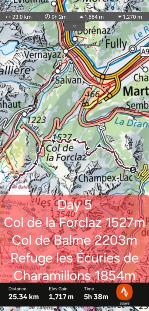
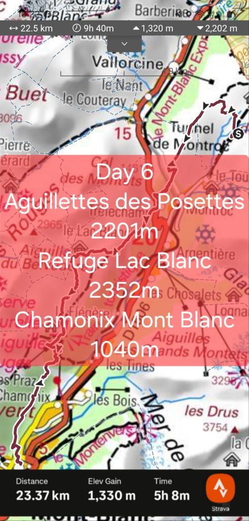
Daily summaries of distance, elevation and tick-offs. Top of each image is mapping data (plotted as long distance hike but we ran some flats and downs), bottom is Gary’s Strava data for comparison (click for full size):
Mapping stats:
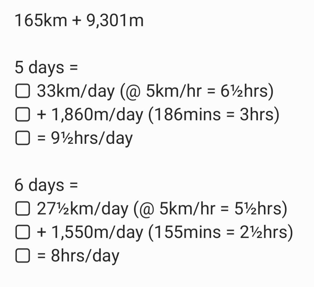
Total 156km/6 = 26km/day
Total 8,925m//6 = 1,488m/day
Strava stats:
Total 171km/6 = 29km/day
Total 10,153m/6 = 1,692m/day
July was considered, to avoid late lying snow but June suited work & childcare – also the trails are quieter in June